International Mountain Leader, Winter and Summer Mountain Leader
Blog for December 5th, 2014
December 5th, 2014
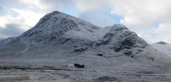
Beinn a' Chrulaiste from Altnafeadh
Micro navigation
It was a clear day so the features used for navigation had to be smaller in size to make it more challenging
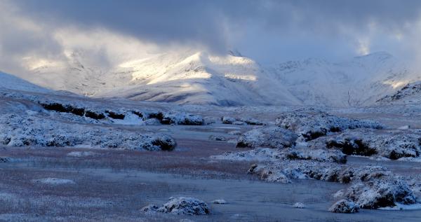
The small lochans shown on the 1:25,000 Ordnance Survey maps were used, these are too small to show on the 1:50,000 maps
The small lochans shown on the 1:25,000 Ordnance Survey maps were used, these are too small to show on the 1:50,000 maps
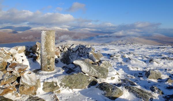
The Blackwater Reservoir, holds 111 million cubic metres of water (that's 111,000 million litres), and feeds the water turbines in Kinlochleven. The reservoir is also gravity fed by a concrete pipe from Loch Eilde Mor. Loch Eilde Beag (meaning smaller) is a small extension to Loch Eilde Mor
People ask when is a lochan a loch. Well, when is a lochan a puddle as these were shown on the 1:25,000 Ordnance Survey map and used for micro navigation practice


